-40%
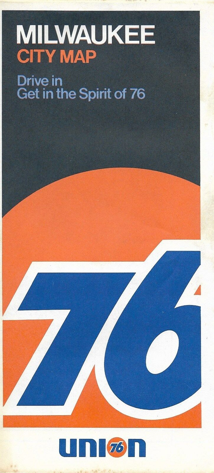
1972 UNION 76 Road Map MILWAUKEE Wisconsin Wauwatosa Whitefish Bay Shorewood
$ 4.21
- Description
- Size Guide
Description
1972 UNION 76 Road Map MILWAUKEE Wisconsin Wauwatosa Whitefish Bay ShorewoodHandsome fold-out 1972 Union 76 road map of Milwaukee, Wisconsin, printed more than 44 years ago.
The map opens to 28½" x 18" and has great detail on old street and highway alignments, with cartography by Rand McNally.
The coverage area extends from Brown Deer to Puetz Road, including Greendale, Cudahy, West Allis, Wauwatosa, Whitefish Bay, Oak Creek, Shorewood, Hales Corners, and Saint Francis.
On the reverse side there's a regional map of the Waukesha to Milwaukee area, as well as an inset plan of downtown Milwaukee.
This map was published by the Union Oil Company in 1972 and is dated in the legend. The code number in the lower margin is 725809-14. The code on the back cover is 72.
Condition:
The map is in very good condition, bright and clean, with
no
marks, rips, or tears. Please see the scans and feel free to ask any questions.
Buy with confidence! We are always happy to combine shipping on the purchase of multiple items, and everything we sell comes with
our unconditional, money-back guarantee.
Powered by SixBit's eCommerce Solution
